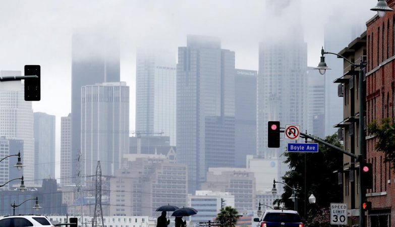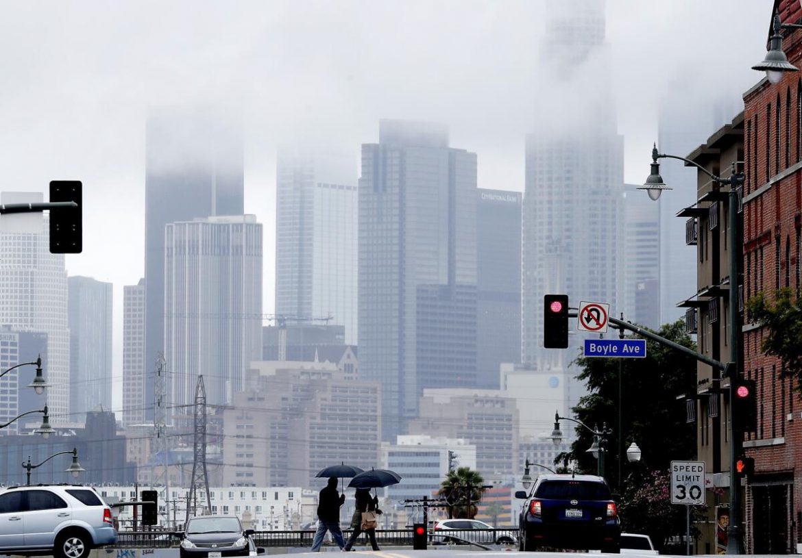
Following a brief but intense heat wave that scorched Southern California over the weekend, a significant cooldown is on the way — along with a thick marine layer, cooler temperatures, and even a chance of drizzle.
According to the National Weather Service, temperatures are expected to plunge by more than 20 degrees by Monday. Highs along the coast will stay in the mid-60s, while inland areas like the San Fernando and San Gabriel valleys will top out around 70 degrees.
By Monday night, the marine layer is forecast to deepen, spreading low clouds and light drizzle from the beaches into the foothills of the San Gabriel Mountains.
“Especially by Tuesday, it’ll definitely feel like ‘May Gray’ has set in,” said Joe Sirard, a meteorologist with the National Weather Service in Oxnard. “Expect damp sidewalks, wet car windshields, and possibly some drizzle during your morning commute.”
A slight warming trend is expected midweek, with modest temperature increases on Wednesday and Thursday. However, no further heat waves are on the horizon.
The cool change comes after a sudden spike in weekend temperatures that shattered records and overwhelmed emergency services. More than two dozen hikers had to be rescued due to dehydration and heat-related illnesses.
At least 15 rescues were reported Saturday in Orange County, nine in Riverside County, and one in Los Angeles, where a hiker suffering from heat exhaustion was airlifted out of the Hollywood Hills.
Downtown Los Angeles hit a scorching 103 degrees on Saturday, breaking the previous May record of 99 set in 1988. Other record highs included 102 degrees in Woodland Hills, 101 in Burbank, and 95 in Long Beach.